II. Map Maker, Map Maker, Make Me a Map
Copyright (c) 1997 by Ronald Bourret
We spent a rainy night in Miracle Beach, halfway up the east coast of Vancouver Island, and woke early to the irregular plink of dripping branches. A soft drizzle greeted us as we stumbled out of the tent. It was typical of the Northwest -- light enough that you couldn't justify staying home, but heavy enough to take the joy out of the day.
Quietly, we rolled the sodden tent, shoved our sleeping bags into the back of the car, and drove out of the campground. Our first stop was Campbell River, where Ben had arranged to meet Clay, a local caver. Unfortunately, Clay had left before we were even out of bed. We continued two hours north to Port McNeill.
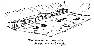
Port McNeill was much smaller than I expected. A single road left the highway and ran past a heavy equipment shed and a gas station. Beyond the gas station, a collection of vacant lots fronted a subdivision of modest homes. The road continued down a steep hill, past a community center and a second gas station, and ended in a T one block from the harbor. A utilitarian collection of bars, diners, offices, and stores lined the waterfront. Across the base of the hill behind sprawled a shopping center, the few cars in its enormous parking lot making it look sad and empty.
The caves were hidden somewhere in the miles of surrounding forest. Ben had vague directions to two of them -- both of which also appeared in a booklet of tourist maps -- but we were reluctant to go searching for them. Experience told us that we would most likely spend the afternoon wandering down unmarked logging roads and floundering hip deep in second growth.
We stopped at a pay phone in the shopping center. Ben tried Clay's cellular phone but got no answer. He then tried Bill, a Port McNeill caver, again with no success. Faced with a miserable bushwhack or sitting at the linoleum counter of a cheap diner and arguing with the locals about the future of the Canadian lumber industry, we opted for the bush.
But first we went looking for a better map, as the tourist map was certain to be hopelessly optimistic in its portrayal of logging roads. This meant walking from the office of one logging company to the next and having remarkably similar conversations at each.
"Hi. Do you have any maps of logging roads in this area?" we would ask, pointing to a blank area on our road map.
"Oh, no," the secretary would reply, her Scottish accent twisting the 'oh' into an 'oo.' "You could try [another logging company]. So, you're here on holiday?"
"Yep. We're up to do some caving."
"Caving? Oh, my." The 'oo' sound develops a worried tone. "Have you ever done that before?"
"Sure -- lots of times. Do you know where any caves are?"
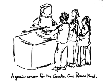
"Oh, no." The 'oo' now expresses a genuine concern for the contents of the Canadian Cave Rescue Fund. "Best of luck, eh?"